


Benefits
Powerful workflows for superior results
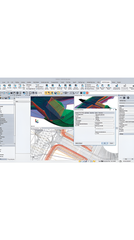
From the industry-leading GNSS baseline processor to dynamic surfaces, point cloud classification and feature extraction, optimize your data and deliverables.
View & adjust raw data in one software
Eliminate unnecessary data exports, correct field blunders, reduce rework and ensure data traceability in a single application.
Licensing on your terms
TBC subscription plans come with lower upfront costs and provide you with the flexibility to use and scale your licenses as needed, and benefit from the latest software updates.
Features
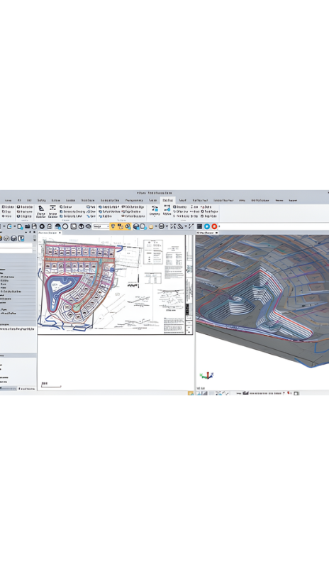
Work with data, not coordinates
Review and adjust metadata like rod heights and vector quality, and then refine your raw observations with a least squares routine or GNSS post-processing.
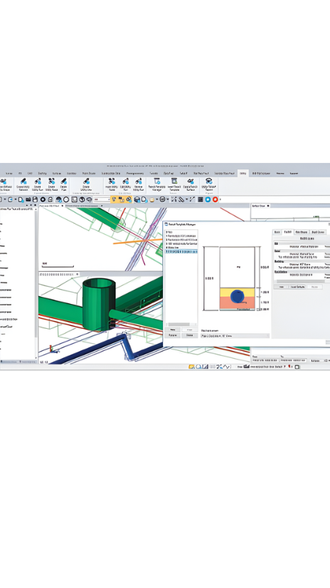
Support all survey sensors
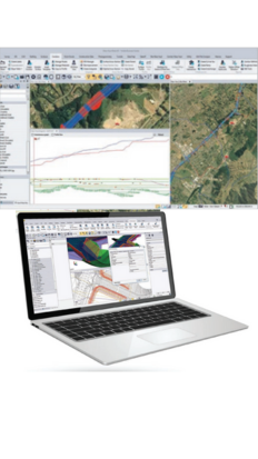
Bring your GNSS, total station, digital level, terrestrial scan, UAV, mobile mapping and machine control data into one project environment.
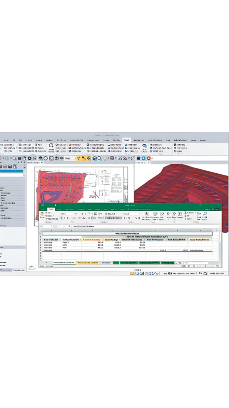
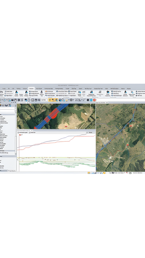
Report & share results
Work across standard industry hardware formats. Then, connect your project to software providers such as ESRI, Autodesk, Bentley and more.
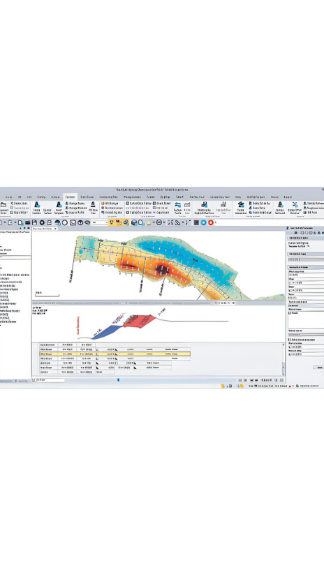
Report, create, export & more
Start and stay in TBC with options like adjustment reports, digital surfaces, classified point cloud regions, constructible corridors and third-party exports.
See Also: Trimble (product tag).