


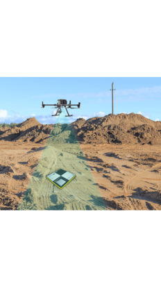
Turn raw drone data into survey-grade maps with PPK drone mapping
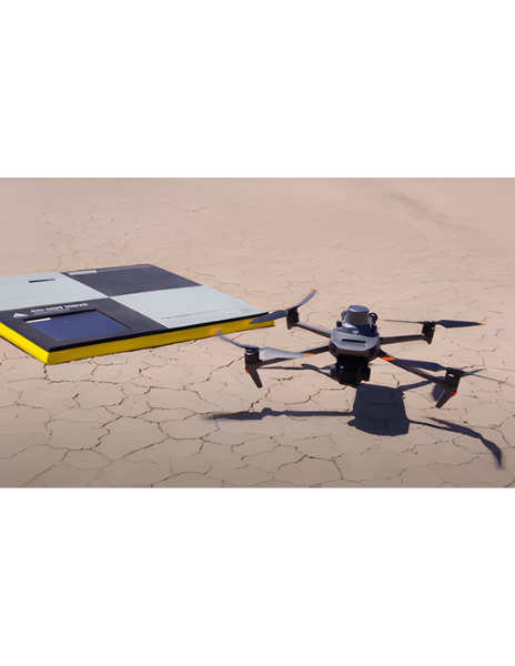
PPK, or post-processing kinematic, is a high-precision workflow that ensures your drone imagery is accurately geolocated. Using AeroPoints and high-accuracy drones, processing with Propeller’s PPK makes survey-grade mapping reliable, repeatable, and simple.
Features
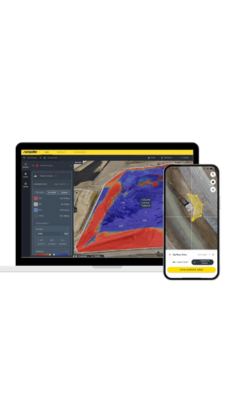
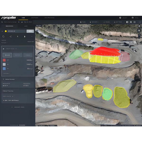
- Achieve consistent survey-grade accuracy across multiple flights and large sites
- Reduce errors and rework by validating imagery against precise ground control
- Make confident, data-driven decisions for planning and reporting
- Scale easily across projects while maintaining repeatable results