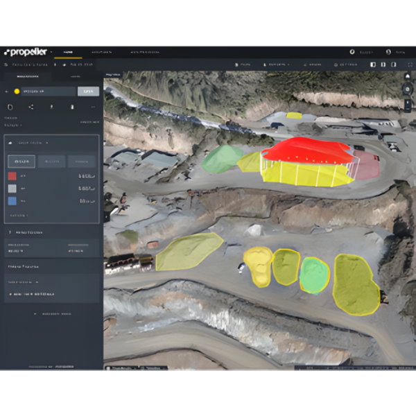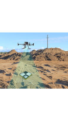


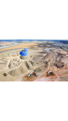
Achieve Survey-Grade Accuracy through PPK Drone Technology
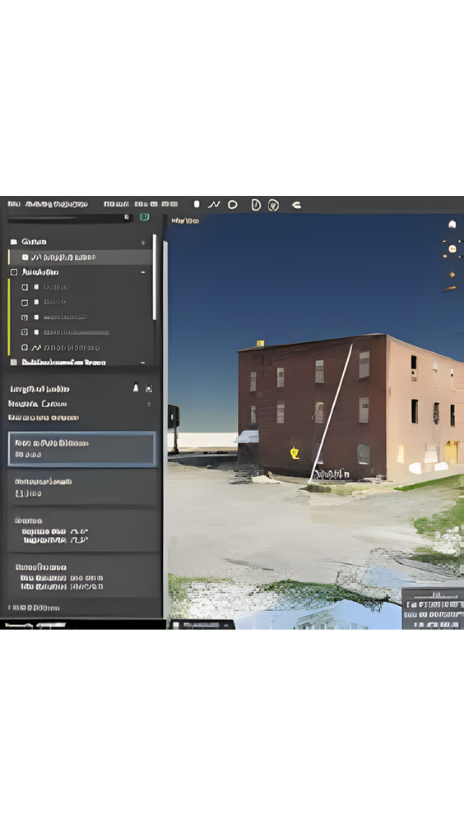
It takes a lot of technical expertise to turn survey data into accurate and realistic 3D maps. Our photogrammetry processing pipeline, managed by a team of geospatial experts, makes drone data accuracy repeatable and predictable — no matter how many datasets you’re juggling at once.
Features
- managed by a team of geospatial experts
- makes drone data accuracy repeatable