


PROPELLER
Drone Mapping and 3D Platform
Survey-grade drone mapping and 3D site analytics for construction and earthworks teams. Map, measure, and manage worksites smarter with Propeller.
We combine high-precision drone maps with reality capture, machine telematics, and field collaboration tools on one intuitive 3D platform that anyone on your team can use.
Propeller simplifies daily oversight using a map-based command center with analytics tools and reporting capabilities. Connecting all your site docs in one hub, you’ll reduce operating costs, align your team, and keep proof of work on hand.
Showing all 7 results
-


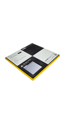
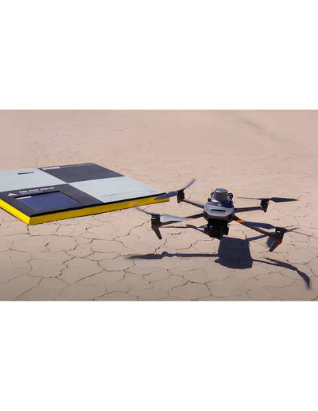
Propeller Hardware Aeropoints
Read more -
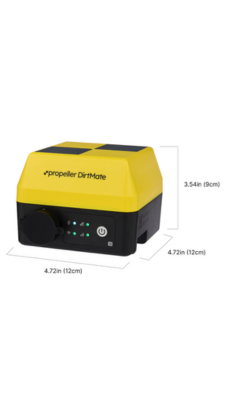
Propeller Hardware Dirtmate
Read more -
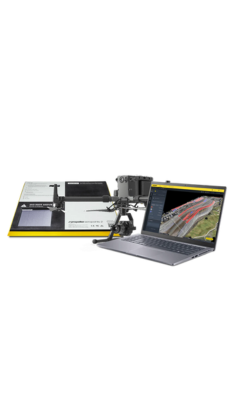
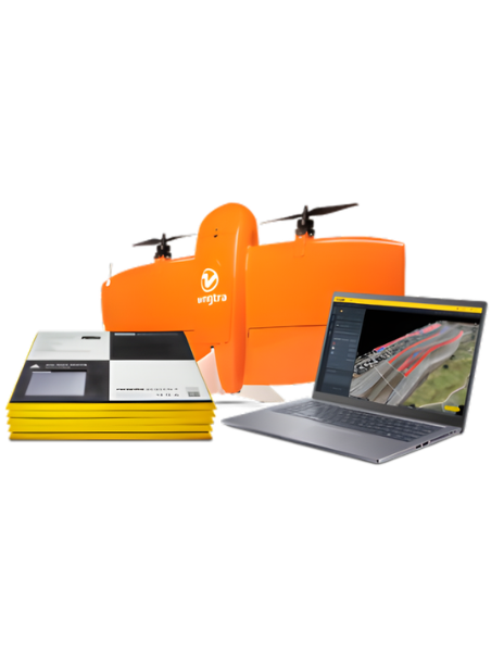
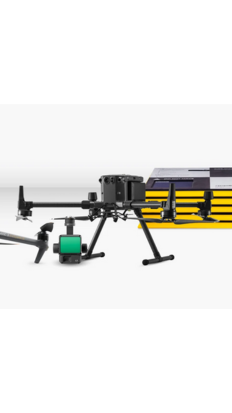
Propeller Hardware Drone Sensors Bundle
Read more -

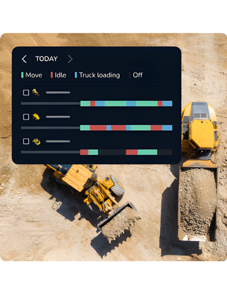
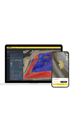
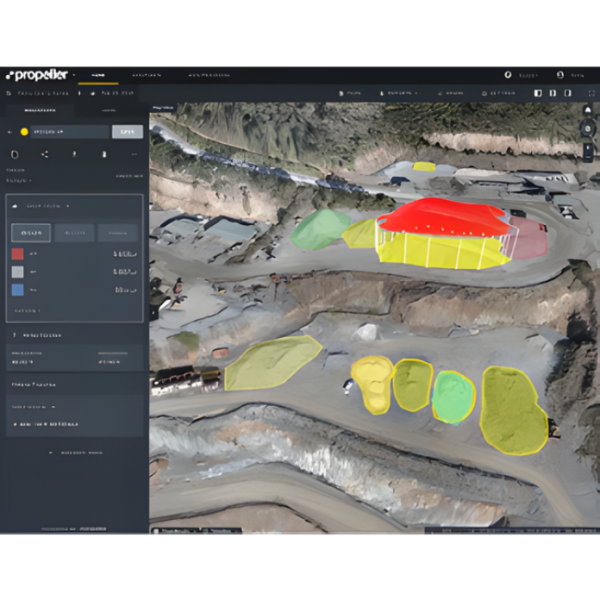
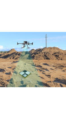
Propeller Platfrom Cloud Map & Measure
Read more -
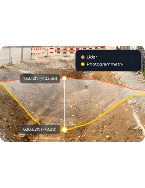
Propeller Processing Lidar
Read more -
Propeller Processing Photogrammetry
Read more -
Propeller Processing PPK Workflow
Read more