


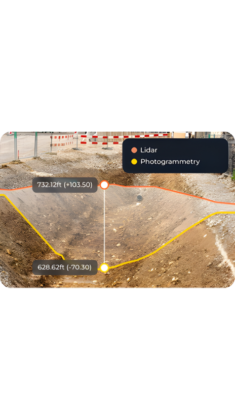
Capture existing ground through vegetation with drone LiDAR
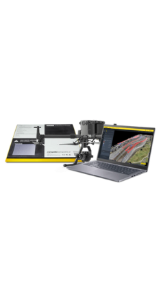
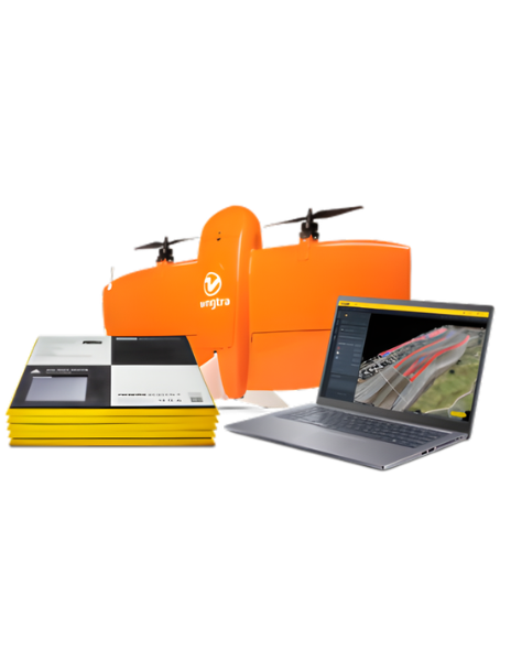
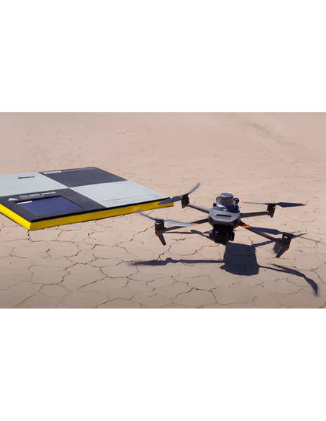
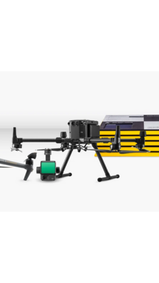
Propeller makes LiDAR practical for capturing true ground conditions before clearing or earthwork begins. Fly with DJI Zenmuse L1 or L2 sensors on M300, M350, or M400 drones, then offload processing, classification, and QA/QC to Propeller. You get ready-to-use terrain models, point clouds, and orthophotos that let you plan, bid, and make decisions with confidence.
Benefits across industries
- Construction
- Mining
- Aggregates and quarries
- Waste Management